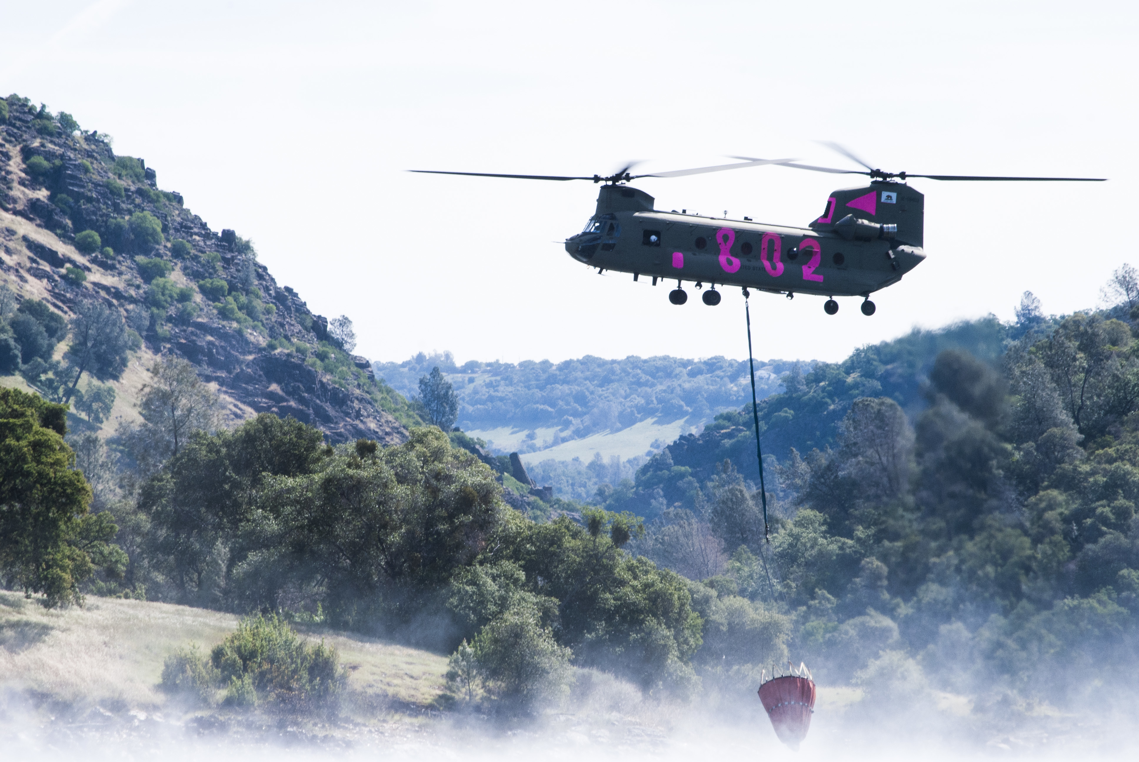
San Diego County now has more than 1,000 firefighters, a helicopter that can drop water at night, and a real-time camera network feeding live wildfire data to the public, officials said at an Aug. 19 readiness briefing. The investments matter locally: parts of Encinitas sit in a state-designated Very High Fire Hazard Severity Zone, and Santa Ana wind season begins in fall.
"The greatest concern remains the alignment of critically dry fuels with the onset of Santa Ana wind events, when the potential for large, fast-moving wildfires will be at its highest," CAL FIRE Unit Chief Tony Mecham said at the county briefing.
The county's Firehawk helicopter, a Sikorsky S-70, can carry 1,000-gallon water loads and fly suppression missions after dark. A CAL FIRE C-130 Hercules air tanker is now based at Ramona Airport following facility upgrades. The Sheriff's aerial unit, ASTREA, responded to more than 5,500 missions in 2025, including 285 fire dispatches and 985 water drops, and operates a Bell 412 EPX while pursuing funding for a second one to extend nighttime coverage.
The price tag is significant. Officials said the county has spent more than $1 billion on fire protection and preparedness over two decades. The modern strategy dates to the 2003 and 2007 firestorms, which burned more than 750,000 acres and exposed coordination gaps.
New technology for residents
The briefing highlighted the AWARE California platform, which integrates UC San Diego wildfire cameras, satellite detections and weather feeds into a single dashboard. A public-facing version lets residents view live camera imagery and track active incidents across the region.
Firefighters also use Tablet Command software for real-time unit tracking and digital mapping of fire perimeters and evacuation zones.
Fuel reduction and inspections
In 2025, County Fire's Community Risk Reduction crews cleared more than 800 lane miles of vegetation, created more than 200 acres of fuel breaks, treated 45 lane miles of roadside brush with retardant and completed more than 37,000 defensible-space inspections. The county updated 10 Community Wildfire Protection Plans and supported 17 new Fire Safe Councils.
Encinitas residents can check whether their property falls in the Very High Fire Hazard Severity Zone through the city's defensible-space inspection page.
Emergency alerts and evacuations
The County Office of Emergency Services, led by Director Daryl Arbuthnott, reorganized this year into divisions for community engagement, planning and response, each with a dedicated recovery coordinator. Over the past year, OES held more than 70 community outreach events and updated the county's emergency operations plan, including its wildfire annex.
During a fire, the Sheriff's Office pushes warnings through Wireless Emergency Alerts, the Genasys Protect app, AlertSanDiego.org notifications, hi-lo sirens and door-to-door contact. AlertSanDiego posted evacuation guidance on July 24, reminding residents that a yellow warning means "be ready to leave" and a red order means "leave immediately."
The national wildfire preparedness level reached 5, its highest, in late July, according to Time. That designation means federal aerial and ground resources may be stretched thin if multiple fires ignite simultaneously.
Residents can sign up for alerts and find preparedness resources at AlertSanDiego.org.