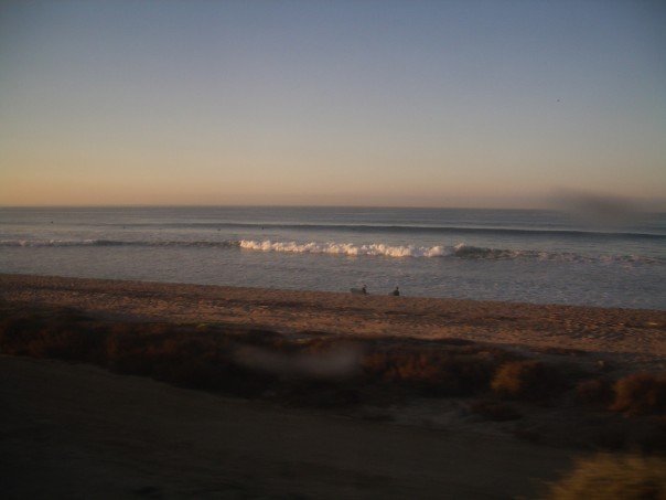
Encinitas beaches face dangerous rip currents and elevated surf through Nov. 10 under a Coastal Flood Advisory issued by the National Weather Service.
The advisory took effect at 4 a.m. Friday, Nov. 6, and runs through noon PST Tuesday, Nov. 10. It covers all San Diego County coastal areas. The NWS San Diego office expects minor to locally moderate coastal flooding and elevated surf along west-facing beaches.
The highest tides will arrive in the late morning each day, according to the advisory. Tides are expected to peak at 7.4 to 7.6 feet Sunday, Nov. 8, and Monday, Nov. 9. Those levels are 1.3 to 1.6 feet above normal astronomical tide predictions. Surf is expected to increase Monday.
The NWS warned that flooding of lots, parks and roads is possible, with isolated road closures expected.
The advisory urged travelers to allow extra time and avoid driving around barricades or through water of unknown depth. Coastal residents should prepare for rising water and protect flood-prone property, the NWS said.
Advisory overlaps with hot weekend
The hazardous conditions arrive alongside unusually warm weather. The San Diego Union-Tribune reported that a high-pressure system and Santa Ana winds are expected to push daytime highs to 86 degrees Saturday, Nov. 7, and 88 degrees Sunday. The seasonal high is 73 degrees.
The Union-Tribune attributed the elevated tides to El Niño's influence and reported that strong waves are expected to arrive from the west-northwest and southwest. Forecasters told the paper that waves Sunday could reach the 3-to-5-foot range, with occasional sets of 6 to 7 feet.
What beachgoers should know
In an Oct. 27 advisory for a previous coastal flooding event, San Diego County's Office of Emergency Services urged residents not to cross flooded intersections or beach pathways. The county's Oct. 27 advisory also urged: turn around, don't drown.
The NWS advisory for this event runs through noon Tuesday, Nov. 10, with the highest tides expected Sunday and Monday mornings.